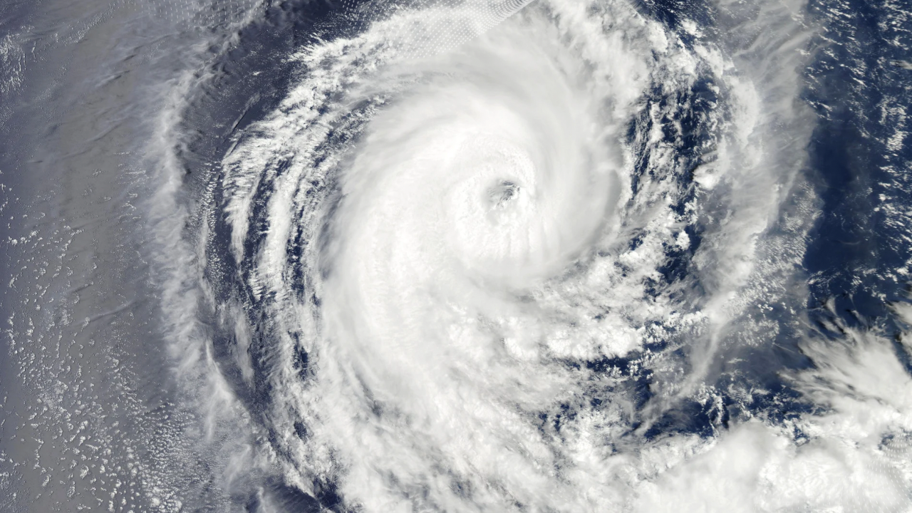
Hurricane John slowed its impact on Mexico’s southern Pacific coast on Tuesday. However, authorities warned it could pick up speed later, bringing strong winds and heavy rain.
“This heavy rainfall will likely cause significant and possibly catastrophic, life-threatening flash flooding and mudslides,” the US-based National Hurricane Center (NHC) warned. The southern states of Chiapas, Oaxaca, and Guerrero face the greatest risk.
Authorities urged residents to evacuate and seek shelter. Medialord gathered that temporary shelters have opened in Oaxaca, with 300 shelters available in Guerrero for victims of Hurricane John.
Airlines and schools temporarily shut down. Beaches closed, and emergency responses began as part of the government’s precautions. Fishermen returned to shore, and coastal restaurants quickly shut down operations.
“Slow-moving Hurricane John will bring very heavy rainfall to coastal portions of southwest Mexico throughout the week,” authorities said. The storm, which had earlier reached speeds of 120 mph, slowed to 70 mph (110 km/h) by Tuesday morning.
The NHC expects further weakening, forecasting that Hurricane John will become a tropical depression by the end of the day.
President Andres Manuel Lopez Obrador urged citizens to prioritize safety. “Seek higher ground, protect yourselves, and remember, the most important thing is life,” he said.
By last Thursday, John had been expected to produce up to 15 inches of rain in Chiapas and nearly double that in Oaxaca and Guerrero, according to the NHC. Current reports indicate heavy rains of over 9.8 inches in Oaxaca and Guerrero.
Mexico’s hurricane season runs from May to November. Last year, Hurricane Otis devastated Acapulco, killing many and leaving widespread destruction.
Leave feedback about this